
Home / Mapping
A dimensionally accurate orthophoto of the site is produced as source data for mapping. Distances and areas can be read directly from the image. Uses include area planning, documenting site progress, verifying areas and an overview of the site before an investment decision.
Field work
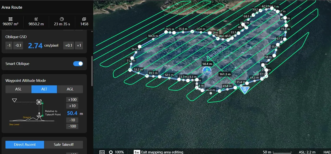
Imaging is planned before the flight, so it is quick to carry out on site. The flight runs automatically with RTK correction. One flight collects over 2,000 images, which are processed into an orthophoto and terrain models.
Orthophotos
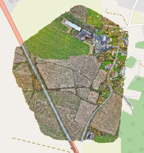
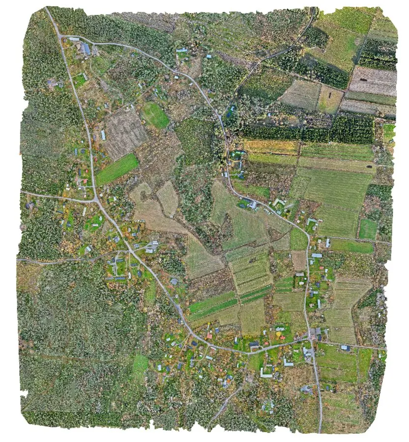
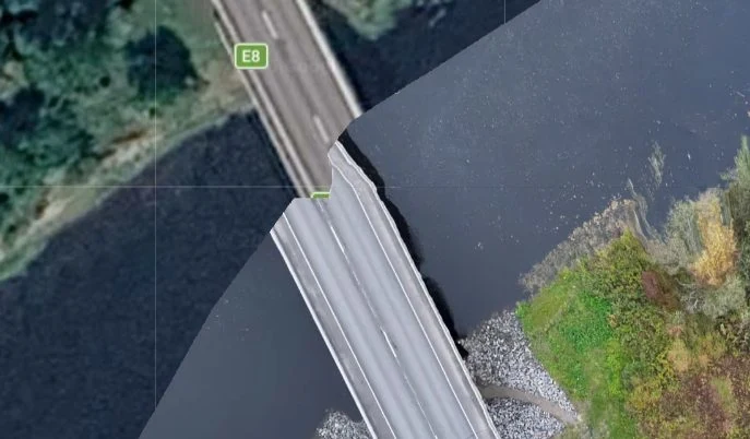
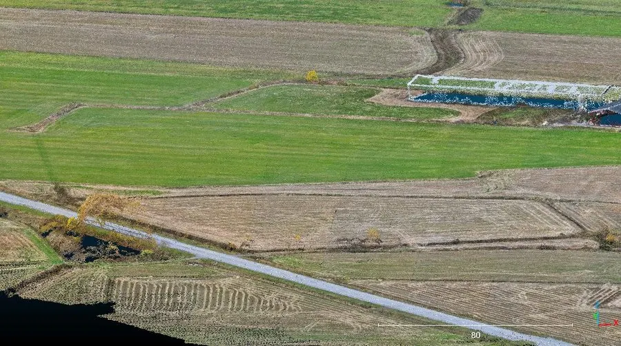
An orthophoto is a rectified, georeferenced aerial image. It drops into place in GIS software or on top of a base map, and distances and areas can be measured directly from the image.
Point clouds
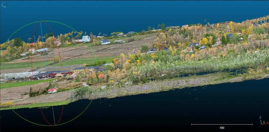
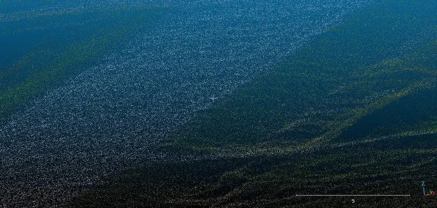
A point cloud produced by 3D photogrammetry shows terrain, vegetation and structures in three dimensions. The accurate data suits the client's own design work and volume calculations.
Data
A rectified, georeferenced aerial image of the whole area in GeoTIFF format for GIS software.
Surface model (DSM) and terrain model (DTM) for examining height differences and terrain shapes.
A three-dimensional model or point cloud of a building, structure or area produced by photogrammetry. Suits design work and volume calculations as source data, and documenting the current state before alterations.
Positional accuracy with RTK correction. The coordinate system is agreed with the client.
Uses
Up-to-date terrain imagery and elevation data as a basis for planning.
Site imaging from the air with repeated flights: documenting progress and accurate data for volume calculations.
Dimensions of areas and structures can be read directly from the data.
Upcoming service
Lidar laser scanning is an upcoming AeroInspect service. Lidar produces a terrain model even beneath vegetation and an accurate point cloud of structures and power lines. The service will be launched once there is enough demand. Tell us about your needs and we will contact you when the service starts.
Site size, location and goal are enough for a quote
Request a quote