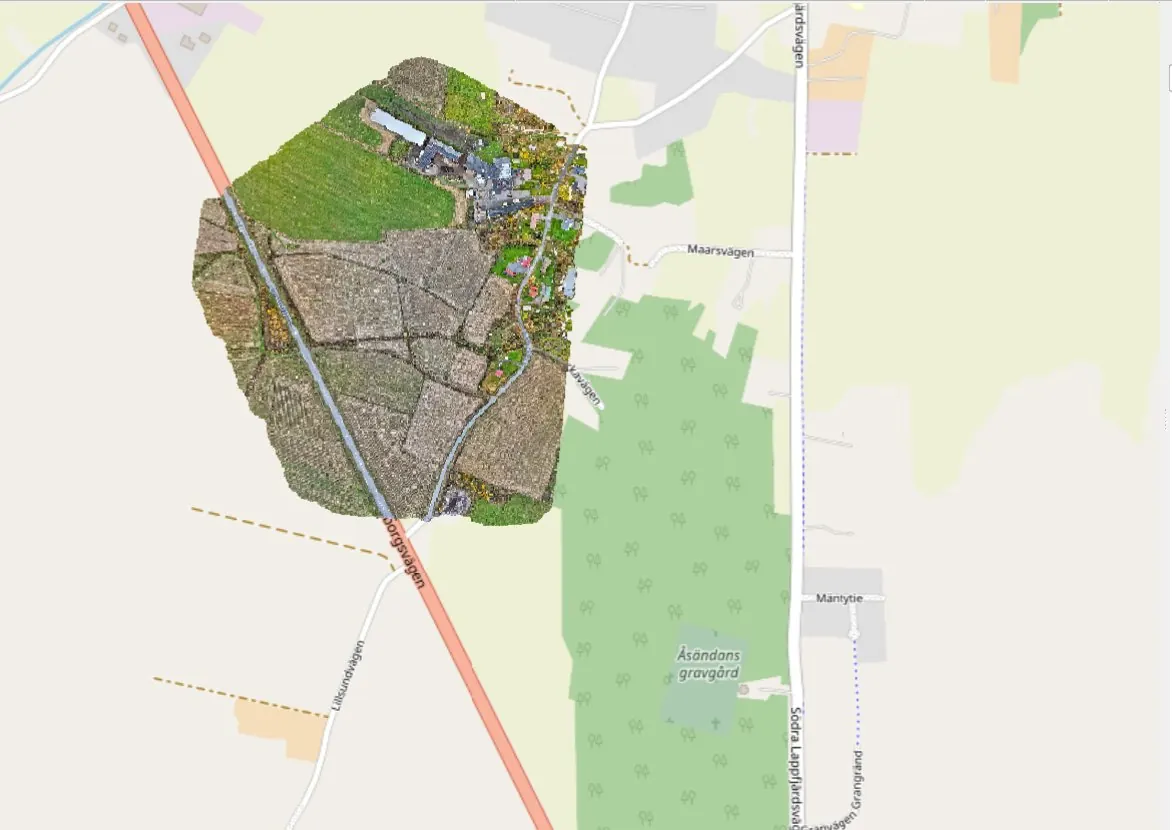
Mapping / Kristinestad / September 2026
Orthophotos of over 300 ha for zoning
Commissioned by the City of Kristinestad, an area of over 300 hectares was imaged as orthophotos. The data is used to identify terrain features for zoning.

Home / References
Completed work. Site, scope and delivered data are published with the client's permission.
References
Commissioned by the City of Kristinestad, an area of over 300 hectares was imaged as orthophotos. The data is used to identify terrain features for zoning.
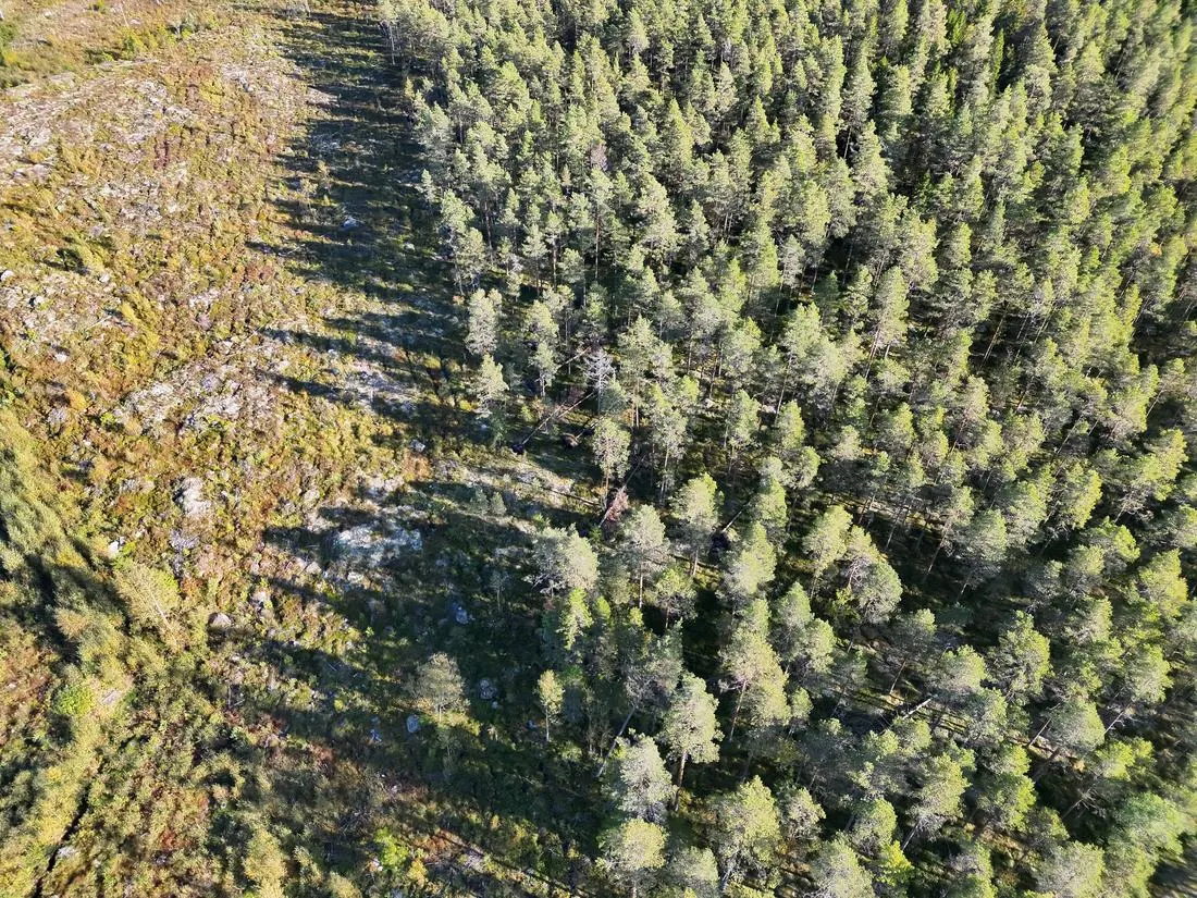
Commissioned by Hagström Invest Oy, a 60-hectare forest area was imaged. The old forest, 30 ha, was imaged after a storm to document windthrow for the insurer. A clear-cut area sown five years ago, 30 ha, was imaged after stand tending to assess its condition.
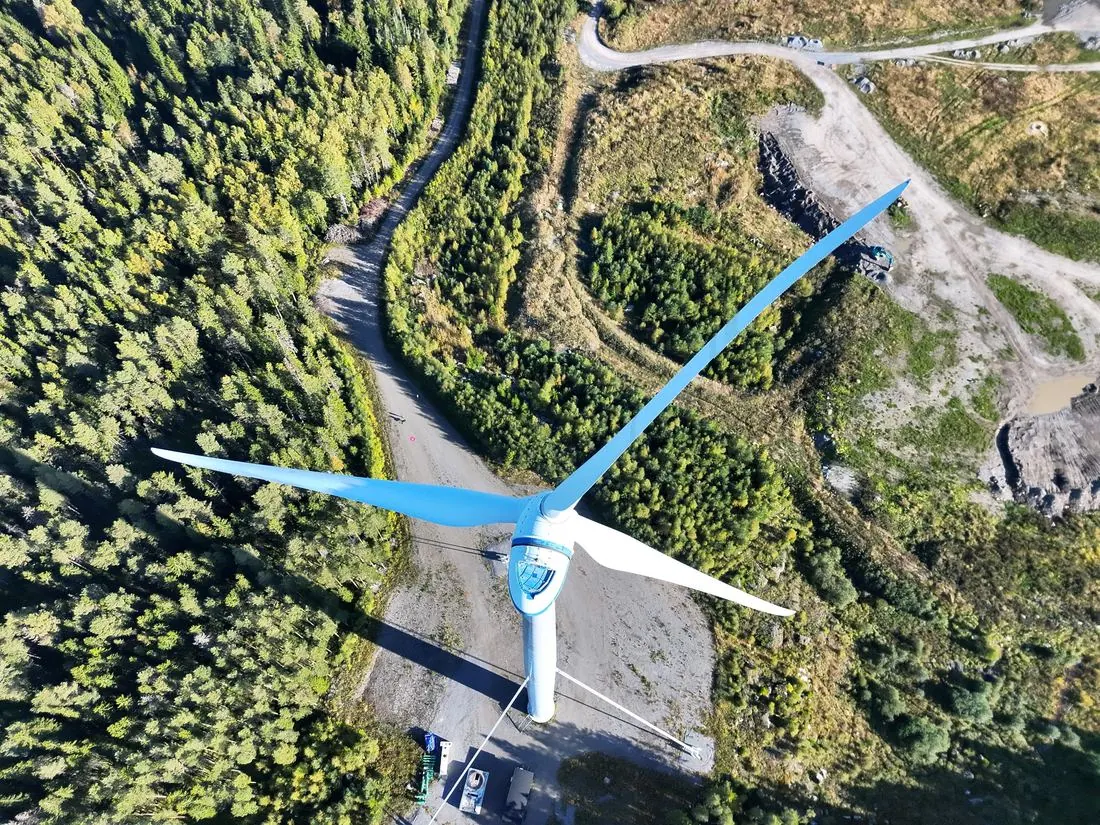
Every blade of the turbine was documented, and an overview of the turbine's condition was compiled as a basis for the condition inspection.
How it works
A risk assessment before every flight. The flight area is controlled, and bystanders and site staff are taken into account.
Route, altitudes and imaging method are planned in advance. On site the flight is quick and the data consistent.
Traficom competencies, STS-02 operations and airspace checks. Air traffic control permissions are obtained when the site requires it.
Site size, location and goal are enough for a quote
Request a quote