
Home / Site monitoring
The same area is imaged repeatedly on the same flight route. Orthophotos and elevation models show progress, earth volumes and changes since the previous survey.
Data
The whole site as one dimensionally accurate orthophoto. Distances and areas can be measured.
Terrain and structures in three dimensions. Accurate source data for volume calculations.
The same area in the same coordinate system on every flight. Changes show by comparison.
Overview and detail images for site documentation and reporting.
Assets
Data centres, industrial construction, earthworks and infrastructure projects. The larger the area, the more time is saved compared with ground surveying.
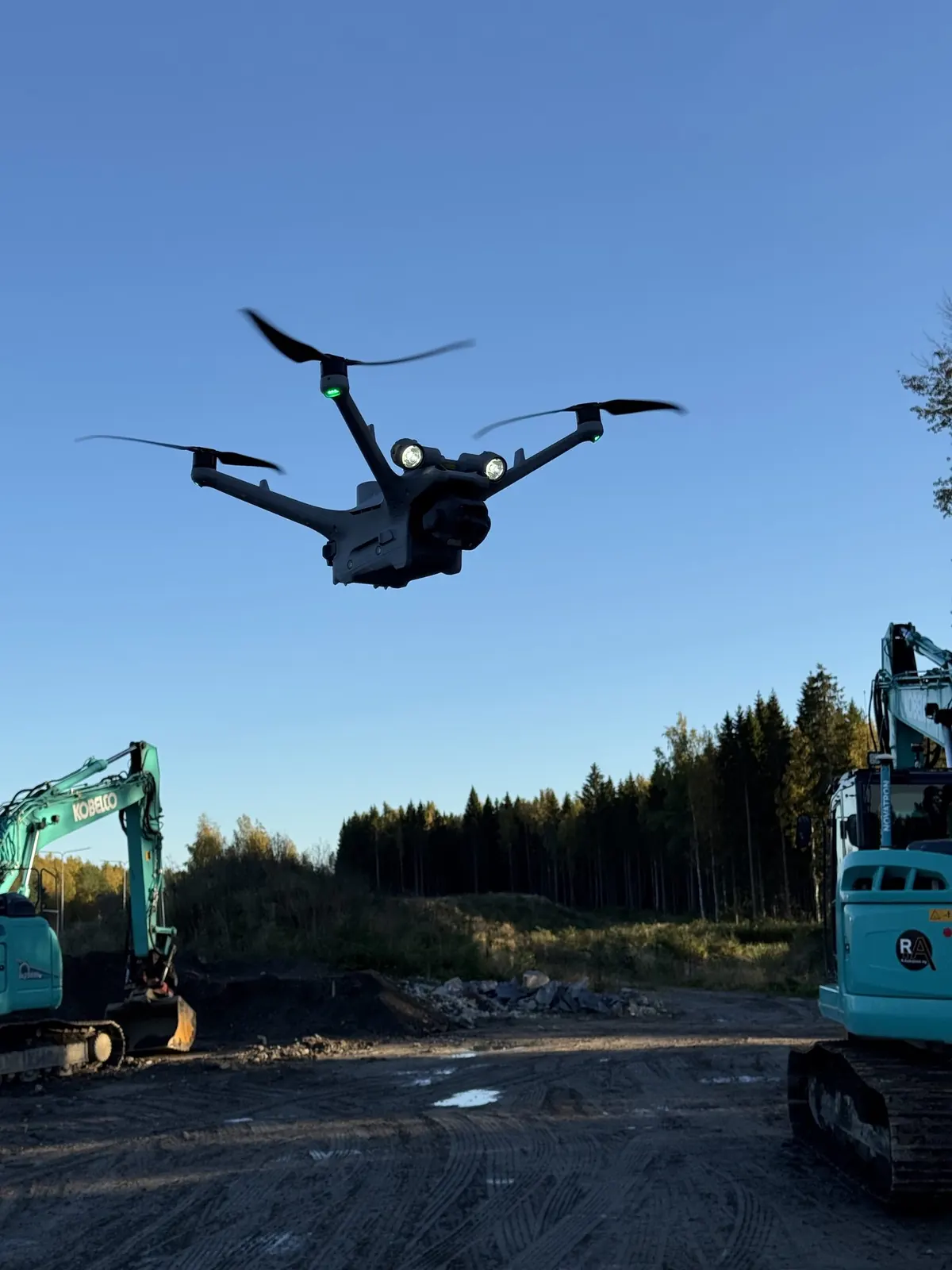
Execution
The interval is agreed according to the project phase, for example weekly or monthly. Flights are made without interrupting work on site, and the data is delivered electronically into the client's own systems.
Principle
AeroInspect does not contract or sell other services to the site. AeroInspect captures and delivers the data. Volume calculations, comparisons and conclusions are made by the client or their specialist.
Site size, location and goal are enough for a quote
Request a quote